If you wish to report a problem with one of these footpaths to Chilbolton Parish clerk, please report the appropriate footpath number,
You can also notify Hampshire County Council via their ‘Problems on Rights of Way‘ portal.
The Countryside Code – Respect, Protect, Enjoy leaflet
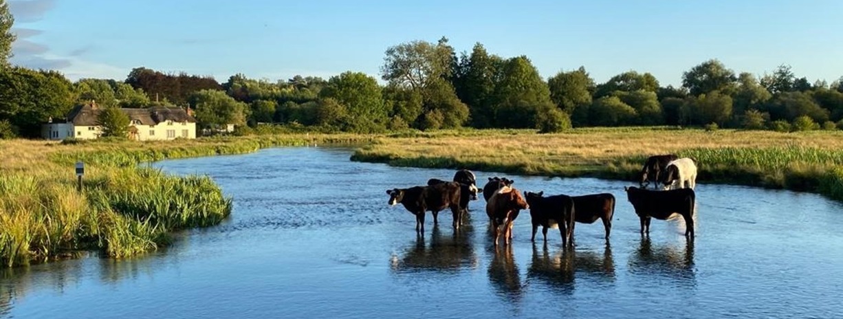
Countryside Services – Countryside Safety, Livestock and you video
Countryside Services – Dogs in the Countryside video
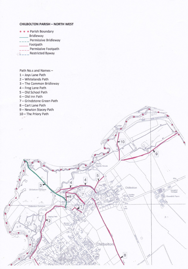
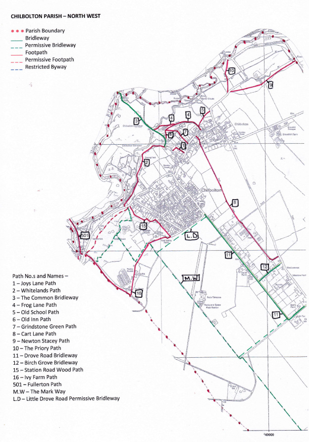
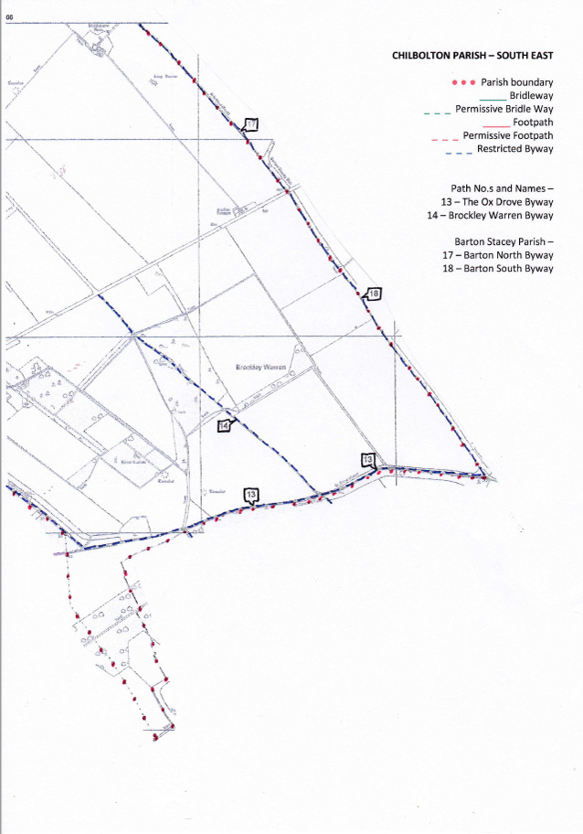
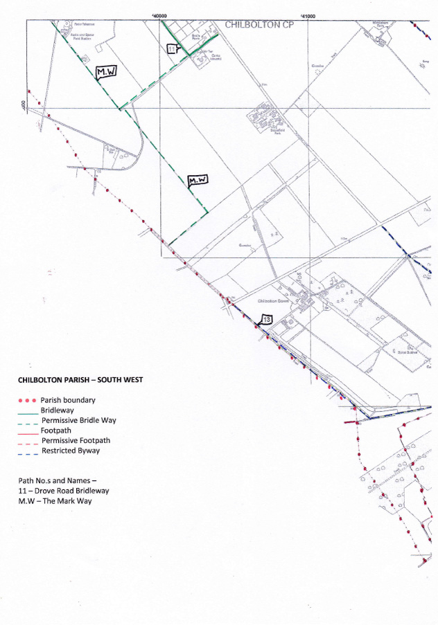
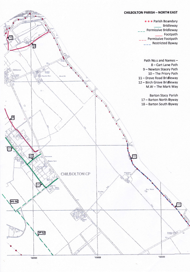
NB: these maps Contains OS data © Crown copyright 2019 OS 0100060948. Use of this data is subject to terms and conditions.
Suggested walks –
Walk 1 – Ivy Farm loop via the path of the former Sprat and Winkle Line (approx. 4 miles (6.12km)). Some walking on a quiet, attractive road. Level: Easy Time: approx 1.5 hours
Walk 2 – Test Valley Farm Loop via West Down (approx. 2.8 miles (4.5km)). Level: Easy. Time: approx 1 hour
Walk 3 – Ivy Farm Wood Wander (approx 2.8 miles (4.5 km)). Level: Easy. Time: approx 1 hour
Walk 4 – Thirt Way Loop via West Down (aprox 3.8 miles (6.2 km)). Level: Easy. Time: approx 1.5 hours
Walk 5 – Station Road Wood Loop (approx 2.28 miles (3.6 km)). Level: Easy. Time: approx 45 minutes
Walk 6 – Wherwell Loop (approx 4.5 miles (7 km)). Level: Easy/Moderate. Time: approx 1 hr 50 minutes
Walk 7 – Wherwell via The Test Way and Church Lane (approx 2.84 miles (4.57 km)). Level: Easy. Time: approx 1 hour
Walk 8 – Fullerton Loop via The Test Way, The Anton Way and West Down (approx 5 miles (8 km)). Level: Easy/Moderate. Time: approx 2 hours